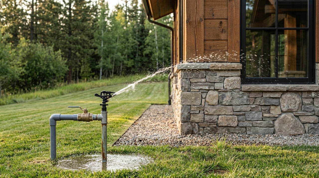
Water can make or break the value of acreage in Darby. A property may look ideal on paper, but if the irrigation setup does not match the land, your goals, or the recorded water rights, you could face costly surprises after closing. If you are considering acreage in the Bitterroot Valley, this guide will help you evaluate water sources, irrigation systems, and key records so you can move forward with more confidence. Let’s dive in.
Why water matters on Darby acreage
In Darby and the broader Bitterroot Valley, irrigation is part of everyday land use. Ravalli County notes that surface water is the primary irrigation source, though groundwater wells are also used, and many canals and ditches start on U.S. Forest Service lands before crossing private land in the valley.
This is not a small or isolated system. The Bitterroot Water Partnership reports more than 100,000 irrigated acres in Ravalli County, managed through a network of ditch companies and other delivery systems. That means when you buy acreage in Darby, water access is often tied to both the land itself and a larger local infrastructure.
Some properties near Darby may also be influenced by specific local sources. Tin Cup Water & Sewer District provides water from Tin Cup Creek and Tin Cup Lake for irrigation and livestock use, and Lake Como Reservoir can serve as a late-season irrigation source. These details matter because the source, timing, and delivery method all affect how usable the water is for your plans.
Start with the water right
Montana follows prior appropriation, which means older, or more senior, water rights are served first when supplies run short. That rule can have real consequences in dry years, especially if you are counting on irrigation for pasture, hay, or livestock support.
It is also important to understand what a water right actually is. In Montana, a water right is a property right to use water, not to own the water itself. It can also be sold, leased, or severed from the land where it was historically used, so you should never assume the water advertised with a property is fully intact and transferable just because the land has been irrigated in the past.
The Montana DNRC Water Rights Query System is a key place to verify what is recorded. A water-right abstract can show the owner, source, point of diversion, place of use, priority date, irrigation type, maximum flow rate, volume, period of use, and maximum acres. For Ravalli County properties, the DNRC Missoula Regional Office is the local contact for water-right questions and ownership updates.
Compare the records to the ground
One of the most important steps is comparing the recorded abstract to what you actually see on the property. Montana State University guidance stresses that historic beneficial use matters, so the current on-the-ground irrigation pattern should match the recorded right rather than the listing description or a casual assumption.
For example, if a property claims a certain number of irrigated acres, walk those acres. Look for active or historic ditches, headgates, turnouts, and the visible path water would need to take across the land. If the topography does not support gravity irrigation, or if the irrigated area on the ground does not line up with the place of use on the abstract, that deserves closer review.
This step is especially important on acreage with flood irrigation. Flood systems depend on grade and layout, so the land has to physically make sense for the claimed use. A topo map, survey information, photos, and the Ravalli County Water Resource Survey map can all help you compare records with reality.
Check ditch systems and access rights
On many Darby properties, the ditch itself is a major part of the irrigation story. MSU notes that irrigation ditches are working agricultural infrastructure, and ditch rights are separate from water rights. They often include primary and secondary easements that may allow maintenance access across private land.
That means you should identify more than just the water source. You also want to know where the ditch runs, who controls it, whether there are headgates or turnouts on site, and whether neighboring land or shared infrastructure affects access or maintenance.
It is also important to know what you cannot casually change. MSU guidance says landowners should not relocate, fill, pipe, fence, or obstruct a ditch without approval. If a buyer is thinking about fencing changes, landscaping, driveway improvements, or other site work, the ditch layout and easements should be reviewed early.
Confirm ditch company shares and assessments
If the property receives water through a ditch company or irrigation district, the water review is not complete until you confirm the related shares and annual assessments. This is a separate but essential piece of due diligence.
In a valley with interconnected delivery systems, that matters a lot. The Bitter Root Irrigation District, for example, serves about 1,400 irrigators across 16,665 acres through more than 70 miles of canal system. Even if your Darby property is not in that exact system, it shows how layered and organized local irrigation delivery can be.
Before you close, ask for documentation that shows what shares are tied to the property, whether assessments are current, and how water is typically delivered during the season. A property with visible irrigation features but unclear shares can create confusion you do not want to inherit.
Evaluate wells carefully
Some Darby acreage uses a well instead of ditch water, or uses both. If a well is part of the property, pull the well log from Montana’s Ground Water Information Center, or GWIC. The log can help show the well depth, water level, and general geologic conditions.
A well log is helpful, but it is not the same as current water testing. MSU notes that private well water quality is the homeowner’s responsibility, and certified laboratory testing should be used when results matter in a transaction. Annual testing for nitrate and bacteria is recommended for private wells.
If the property depends on a private well for household use, livestock use, or supplemental irrigation, ask what role that well actually plays. Then confirm whether the available records and current condition support that use. If future groundwater development would exceed 35 gallons per minute or 10 acre-feet per year, DNRC notes that a permit or change authorization is generally required.
Match irrigation to your pasture plan
Water value is not just about legal rights. It is also about whether the irrigation pattern supports the way you want to use the land.
MSU reports that irrigated pasture can produce roughly 3 to 4 tons per acre. That can be meaningful for buyers planning to graze animals, support horses, or manage a small agricultural operation. But productivity depends on more than having water on paper. It depends on whether the water reaches the right places, at the right times, with a layout that fits your paddocks, stocking plans, and erosion control goals.
If you are buying acreage for horses or livestock, ask practical questions such as:
- Which pastures are actually irrigated now?
- How many acres receive dependable water?
- Does the irrigation layout support rest and rotation?
- Are there dry corners or hard-to-water areas?
- Does the system fit temporary fencing or future pasture division?
This is also a stewardship issue. MSU notes that irrigation ditches can recharge groundwater and wetlands, and cautions against overfertilizing because excess fertilizer can affect surface and groundwater. In dry years, management may need to shift toward irrigated or subirrigated pastures, more frequent moves, adjusted grazing timing, and hauled or piped water where needed.
Watch for permit triggers
If you plan to improve the property after purchase, water-related permits may become part of the conversation. DNRC says permits can be required for irrigation facilities, culverts, fill, excavation, or other development in a special flood hazard area. Work in perennial streams can also trigger stream-permitting review.
This matters if you are thinking about adding crossings, changing drainage, modifying a ditch, or improving access near water. It is smart to ask these questions before closing, especially if your intended use includes substantial site work.
A practical due diligence checklist
When you evaluate Darby acreage, a clear sequence can save time and reduce risk. A practical review often includes:
- Pull the water-right abstract and scanned supporting documents.
- Confirm the current owner matches the deed chain.
- Verify the actual water source serving the property.
- Confirm ditch company or irrigation district shares and annual assessments.
- Walk the land with a survey or topo map.
- Compare visible irrigation infrastructure to the claimed irrigated acreage.
- Pull the GWIC well log if a well is present.
- Order certified well testing when water quality matters to the transaction.
- Ask DNRC or the local conservation district whether planned changes may require permits.
This process can help you move from broad assumptions to property-specific facts. On acreage, that difference matters.
Why local guidance matters
Darby acreage can be incredibly rewarding, but water is one area where details matter more than appearances. Rights, delivery systems, ditch easements, topography, and actual beneficial use all need to line up for the property to perform the way you expect.
That is why local, technical review is so valuable. A careful look at records and on-the-ground conditions can help you avoid overpaying for water potential that is not fully supported. It can also help you recognize real value when a property has a well-documented, functional irrigation setup that fits your goals.
If you are buying or selling acreage in Darby, working with someone who understands land, water, and the practical realities of rural property can make the process far smoother. To talk through your property goals with a knowledgeable local advisor, connect with Susanne Schmidt.
FAQs
What should buyers verify about water rights on Darby acreage?
- Buyers should verify the water source, point of diversion, place of use, priority date, flow rate, volume, any change authorizations, and whether the ownership shown in DNRC records matches the deed chain.
How can buyers check if claimed irrigated acreage in Darby is accurate?
- Buyers should compare the water-right abstract and maps to a site visit, looking for visible infrastructure like headgates, ditches, turnouts, and topography that supports the claimed irrigation pattern.
Do Darby acreage buyers need to review ditch company shares?
- Yes. If water is delivered through a ditch company or irrigation district, buyers should confirm the shares tied to the property and any annual assessments before closing.
What should buyers review if a Darby property has a private well?
- Buyers should pull the GWIC well log to review depth, water level, and geology, and use certified lab testing when water quality results matter to the transaction.
Can new irrigation or stream work on Darby acreage require permits?
- Yes. DNRC says permits may be needed for certain irrigation facilities, culverts, fill, excavation, floodplain development, and some work in perennial streams.